
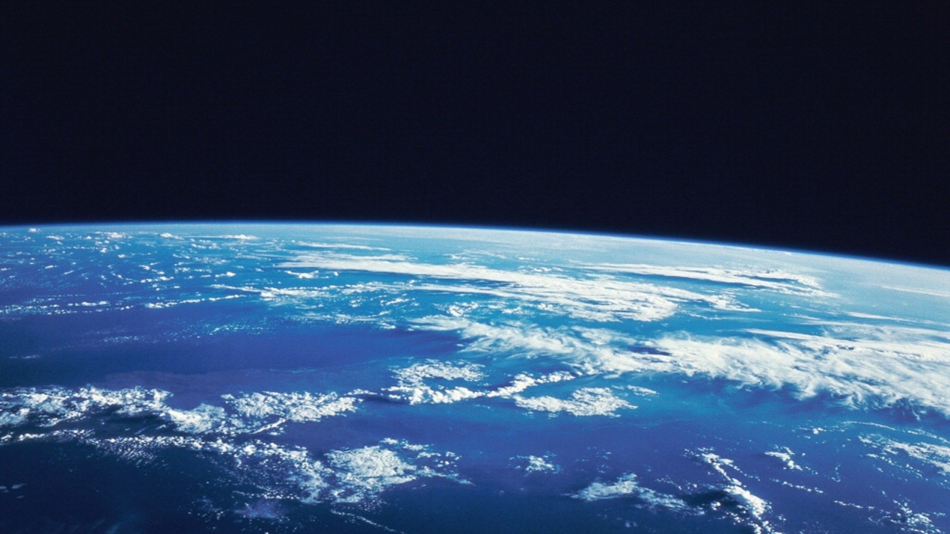

By the 21st century, views of the Earth from space have become common place in weather reports, news reports, scientific papers, and motion picture special effects, among others. For example, a major movie stuido uses real NASA imagery of the Earth seen from an altitude of several hundereds of miles to create the stuido's identifying logo seen at the opening of its motion pictures. The source of those images, how they were obtained, and how they can be used for so many other purposes is rarely understood. Remote sensors on a real fleet of human-made satellites placed in orbit around the Earth by NASA, NOAA, USGS, commercial businesses and amateur users in the United States and other countries, gather data that is sent to Earth and archived for near real-time and later use. The full extent of the value and importance of those data is seldom appreciated. Here, you will find an introduction to satellite remote sensing and how to access and use near real-time and archived data to understand more about how our Earth systems work.
On this page, you will find the start of Satellite Basics with an introduction to Satellites & Remote Sensing and its two sections, Satellites & Orbits and Remote Sensing Basics. These will introduce the succeeding chapters on Accessing, Visualizing/Analyzing and Interpreting remote sensing data.
Although available to any interested person, the content is written especially for teachers as an aid to helping students grades 8-12 develop their own curiosity and understanding.
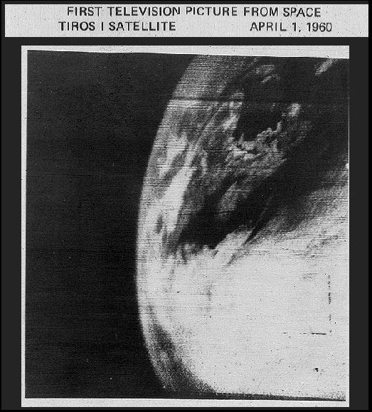
Remote sensors on Earth-orbiting satellites have been common tools for building environmental data sets on global and regional scales since the receipt of the first successful weather satellite image in 1960.
Today, more than 500 operational satellites send us information while orbiting the Earth. Ground stations receive nearly continuous data streams from many satellite-based remote sensors designed to monitor specific environmental factors such as rainfall, sea surface temperature, upper atmospheric ozone, wind currents, cloud patterns and movement, land cover and land use patterns, aerosol density, ocean salinity, soil moisture, gravity effects, and much more. Available data are archived and analyzed to help us all understand changes within the Earth System and appreciate their impact on human society. This is especially valuable for preparing communities for severe weather such as high winds, hurricanes, tornadoes, flooding, or excessive snow and ice. The earlier the warning, the more lives and property saved.
A treasure trove of data is available for every teacher and student willing to dig out the data and utilize them. When the data are analyzed and compared to research questions or lesson objectives, a story unfolds – a story that can only be completed as the learner-investigator attempts to determine the importance of the story to human society on this planet. Just how and when is the story’s conclusion important or significant to our daily human existence? Consider this example.
Measurements of water vapor concentration above and sea surface temperature of the Atlantic Ocean were made by a sensors onboard a GOES weather satellite and sent to an Earth station via radio transmission. A special computer program interpreted the radio signal producing an image. Various tools in other software were used to enhance the image, isolate data pixels of significant interest, and compare the image with ones previously received to identify patterns of change and trends over time. The patterns of change depicted a major hurricane developing from a tropical storm and moving towards the Florida coast. The importance of that information became readily apparent as the probable path of the hurricane was published and severe storm warnings were issued. With sufficient warning, residents saved lives by securing property and/or evacuating.
Accessing usable data is often problematic for K-12 learners. Some data have been stored in formats that may seem difficult to decipher. Large data sets are often compressed for transmission in seemingly unknown formats. Many data are pre-processed and represented to the general public as pretty pictures that, although well described and explained on an individual event basis, may be difficult for students to apply in their own scientific investigations. Environmental Satellites 101 will begin to demystify satellite-based data sets for K-12 teachers and help them guide learners to access information for their own research, learning, and curiosity. This is for those who are willing to dig a little deeper, to take extra steps in processing and utilizing what may seem like new information.
You are invited to explore these areas in sequence or skip to the topic of greatest interest:
Satellites & Orbits is an brief introduction to two major types of Earth-orbiting satellites and satellite orbits: polar and geostationary. Although there are hundreds of operational and decommissioned satellites in orbit around the Earth, the focus here will be on NOAA weather satellites as exemplars. The difference between these orbit types and the advantages of each for remote sensing Earth parameters is included.
Remote Sensing Basics is an brief introduction to remote sensing, digital imagery, and accessing remote sensing data.