

The Satellite Educators Association strives to enhance the education environment by:
For more information, please visit the sections below and our About Us, Conferences, and Newsletter sections.
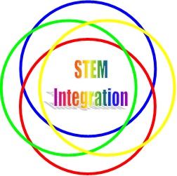
Science, mathematics, engineering and technology are not isolated fields. They depend on each other for comprehension and application. An understanding of the interrelatedness of all STEM fields leads to an awareness that they are also intertwined with all facets of 21st century life on our planet. The Satellite Educators Association thus promotes an appreciation for "integrated STEM" - the interrelatedness of all STEM fields and application of STEM content in other life pursuits.

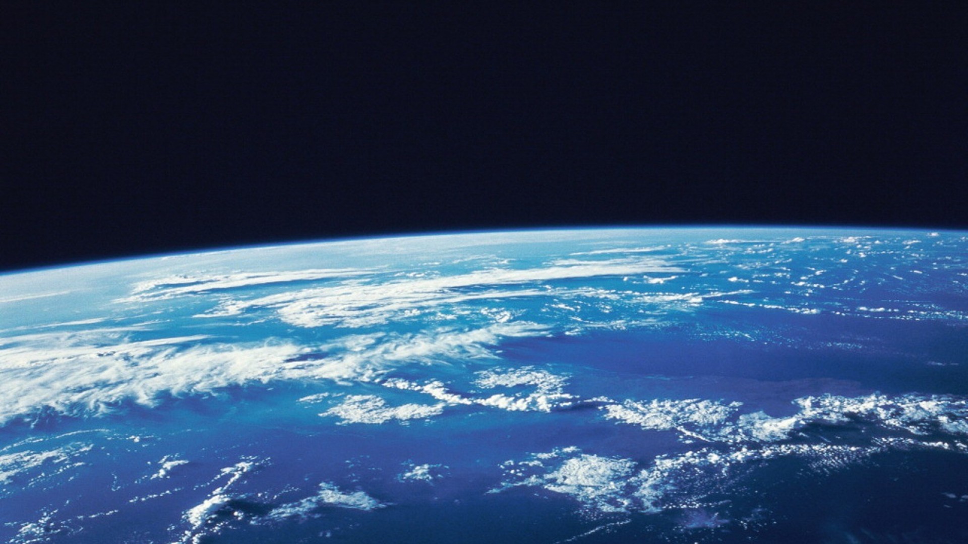
The Multinational Youth Studying Practical Applications of Climatic Events (M.Y. S.P.A.C.E.) Program was an international collaboration of grade 8-12 students engaged in self-selected research projects on the local impact of global environmental issues. Students worked with their own, trained, Teacher-Leaders at their school sites using both locally generated and satellite-based data with support from the National Oceanic and Atmospheric Administration (NOAA) and the National Aeronautics and Space Administration (NASA). Teams from each school met at the annual Satellites & Education Conference to discover global perspectives and implications from their collected local data and present their findings. Students learned and practiced techniques of scientific investigation and engineering design; methods of data processing, analysis, interpretation and design optimization; teamwork and leadership; and effective communication. They worked with NOAA and NASA scientists and engineers, and experienced university campus life.
The M.Y. S.P.A.C.E. Program was an initiative of the Satellites & Education Conference. From 2002 to 2018, it was administered from the campus of California State University, Los Angeles. The program was supported by Satellite Education Association members, NOAA, and NASA. It was aligned with NOAA goals of building excitement about careers in science, technology, engineering and math (STEM).
For more information, please visit the M.Y. S.P.A.C.E. home page.
Professional development opportunities for formal and informal educators abound.
For more information, please visit the sections below and our About Us, Conferences, and Newsletter sections.
The SEA Lesson Plan Library houses lesson plans and supplemental materials for grades K-12 that appeared in More Lessons from the Sky, a regular feature of the quarterly SEA Newsletter online. Lessons are designed by knowledgeable teachers experienced in the use of satellite technologies in the classroom. The SEA Lesson Plan Library also strives to spotlight effective lessons already in publication. Each complete lesson module consists of Teaching Notes and Student Activity.
The Teaching Notes section includes:
The Student Activity pages contain all materials for distribution to learners.
All lesson plans are available on-line without cost. The lesson plans are checked and updated every 1-2 years to insure links and resources are current. On-line search tools help teachers find lessons addressing specific Next Generation Science Standards, particularly Science and Engineering Practices and Cross-Cutting Concepts, or search by grade level and subject area or lesson title.
Visit the SEA Lesson Plan Library to get started today.
Using Satellites in Education is a five chapter introduction to accessing, visualizing, analyzing, and interpreting real-time and archived satellite-based remote sensing data. Includes introduction to remote sensing and digital imagery; summaries of easy-to-use, no-cost tools and data access points with tutorials for use and sample K-12 lesson plans; bountiful links to other resources.
To Travel in Space was recently added to Using Satellites. This anthology of articles first appearing in the SEA Newsletter includes Satellites & More, articles by Ed Muashie, President of ProEngineered Solutions, and Space Travel Basics, articles by Steve Mills, retired Systems Engineer Scientist.
Visit the Analysis Toolbox in the SEA Lesson Plan Library to find more links to specific tools for obtaining, visualizing, analyzing and interpreting satellite-based remote-sensing image data.
Please Note: Some lessons require the use of specific resources which are freely available for download from the SEA Lesson Plan Library's Resources for Lessons.
©Satellite Educators Association, Inc.
Web Manager: SEA.Web@SatEd.org
Updated April 2026